Description
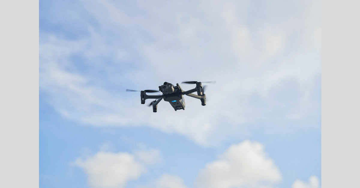
Parrot has struck a deal with Rapid Imaging, to equip its drone videos with geospatial augmented reality (AR) capabilities.Think of it as Google Maps features being transposed on aerial video displays, allowing specific locations to be pinned or geocoded in real-time using GPS-provided coordinates. Before you get too excited, it is a premium feature requiring a subscription. But it has many applications in commercial and government sectors.
Information
Recommend

