Browse Sites By Tag: survey
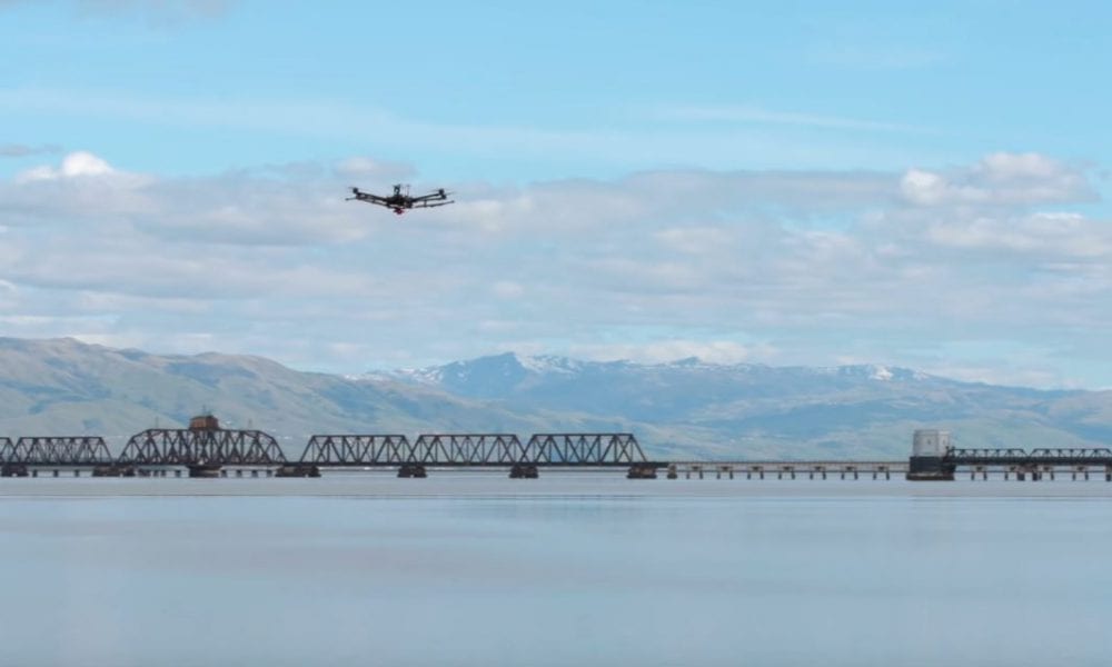
dronebelow.com — Environmental scientists can estimate the health of rivers, bays, wetlands and other waterways by studying the flow of sediments suspended in the water, and from the mud that forms when these sediments settle to the bottom. Drones are now enabling this study.
01.01.1970 0 comments From JAS-Aerial
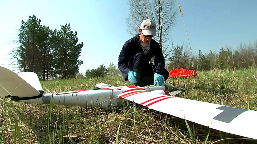
bbc.com — British scientists undertake a new aerial survey of one of the most radioactive locations on Earth.
01.01.1970 0 comments From JAS-Aerial
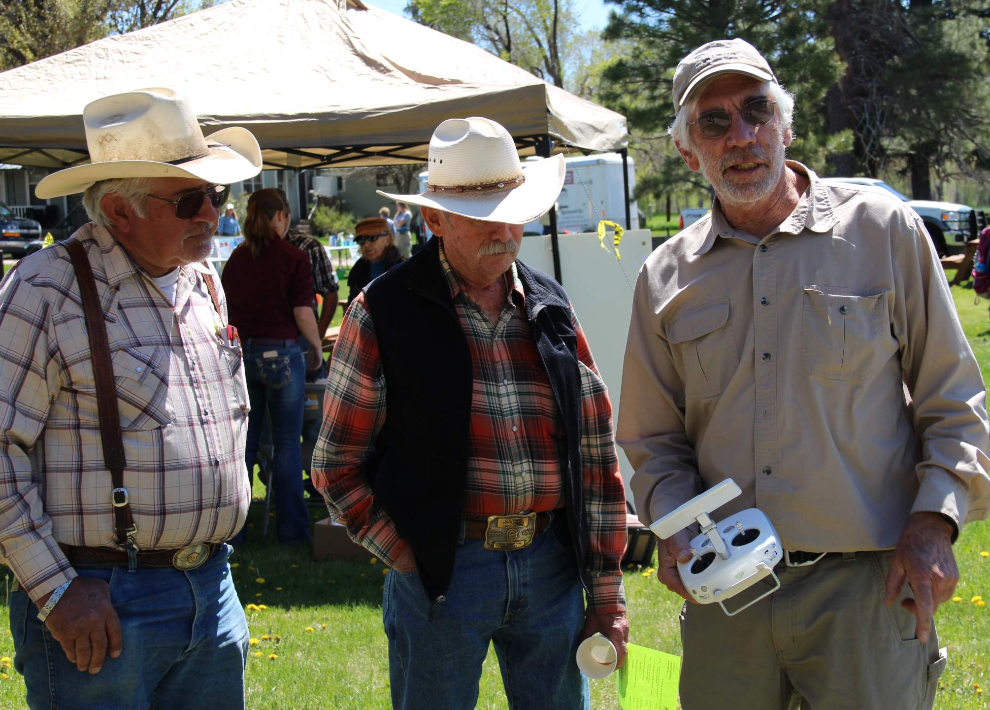
the-journal.com — Drones can change how farmers detect disease, look for pests and manage water and fertilizer – ultimately allowing them to save money.
01.01.1970 0 comments From JAS-Aerial
channelnewsasia.com — The Singapore Land Authority is looking to use drones to perform scheduled inspections on offshore islands under its care – remotely and without a pilot.
01.01.1970 0 comments From JAS-Aerial


