Description
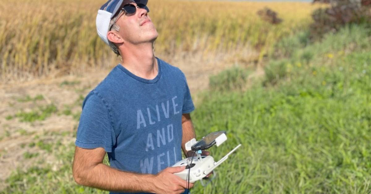
The St. Lawrence River in Canada has long been an area to track the animals to learn more. Drones have now joined in on the fun by allowing the River Institute to map the river and track the wildlife at a much lower cost. With the River Institute, fish biologist Matt Windle began using drones back in 2013 to track the critically endangered American eels. The eels were equipped with a tracker that the drone could pick up and watch as the eels made their way down the river. Before this, Windle and his team would track the eels by chasing after them in a boat to keep in range of the signal. Not only was this hard to do, but it also required multiple people and a lot of time to get usable data. Soon after, they rented a small plane to fly up and down the river, which also proved to be an issue. It cost way too much.
Information
Recommend

