Browse Sites By User: JAS-Aerial
regproject.org — Who regulates how and where drones operate? The FAA is authorized to oversee “navigable airspace.” But what about property rights? How low is too low? Brent Skorup is a Senior Research Fellow at the Mercatus Center at George Mason University, and looks at this topic.
17.07.2020 0 comments From JAS-Aerial
reddit.com — ... officially Score hidden ? 18 hours ago ? Stickied comment. OP sent the following text as an explanation on why this is unexpected: The drone is really ...
17.07.2020 0 comments From JAS-Aerial
wccoradio.radio.com — The Golden Valley Police Department was flying a drone overhead earlier this week to catch beach goers going topless or nude at Twin Lake, just ...
16.07.2020 0 comments From JAS-Aerial
interestingengineering.com — Drone regulations are changing in the EU. What does it mean for you?
16.07.2020 0 comments From JAS-Aerial
dronedj.com — The second is having multiple drones; the more drones flying, the less space available for each of them to maneuver around obstacles and one another.
15.07.2020 0 comments From JAS-Aerial
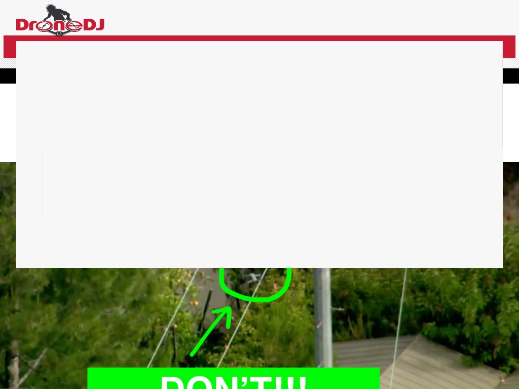
dronedj.com — In fact, the FAA has even more to say on the topic of drones and firefighting: Flying a drone near a wildfire is dangerous and can cost lives. When people ...
15.07.2020 0 comments From JAS-Aerial
dronedj.com — The video starts with four layers of drones combining to form a rectangular prism, which then transforms into a disappearing rainbow. The drones then ...
15.07.2020 0 comments From JAS-Aerial
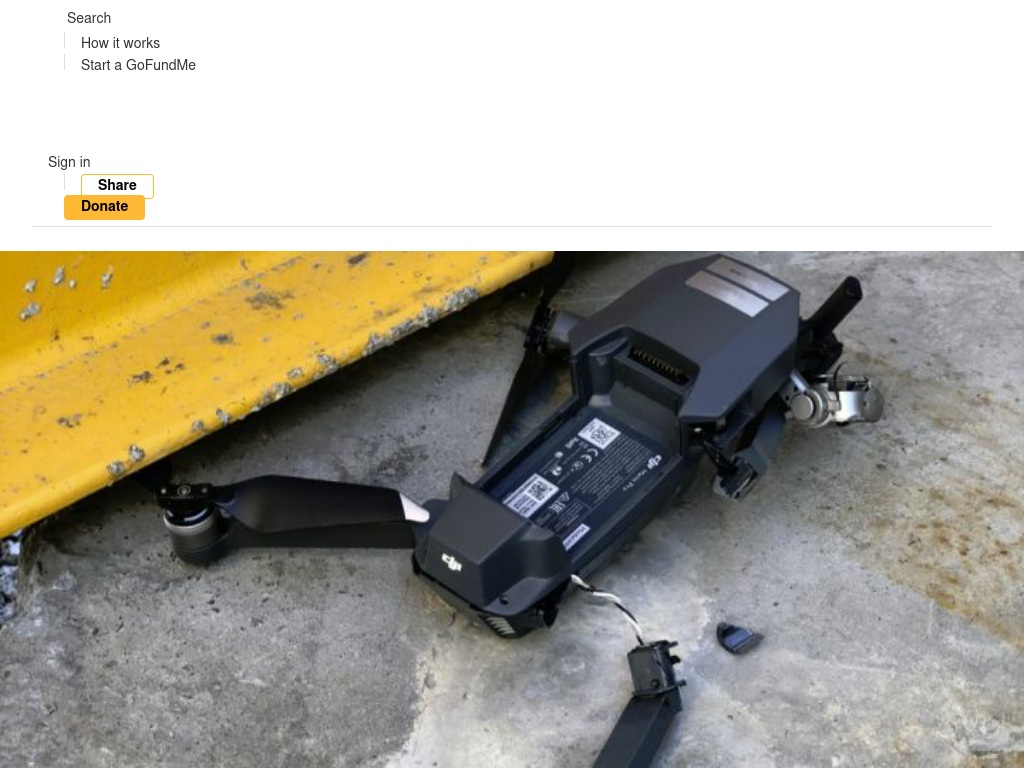
gofundme.com — I am a ordinary guy with a bit of bad luck that can`t afford to pay for a "new" used drone right ... Eric Palmer needs your support for How not to fly a drone..
15.07.2020 0 comments From JAS-Aerial
minnesota.cbslocal.com — The public are concerned about drones being used by "Peeping Tom's" trying to watch people in their shower or topless bathing. Normally, you would call the police to respond. But what do you do when the police are using drones to perve on you?
15.07.2020 0 comments From JAS-Aerial
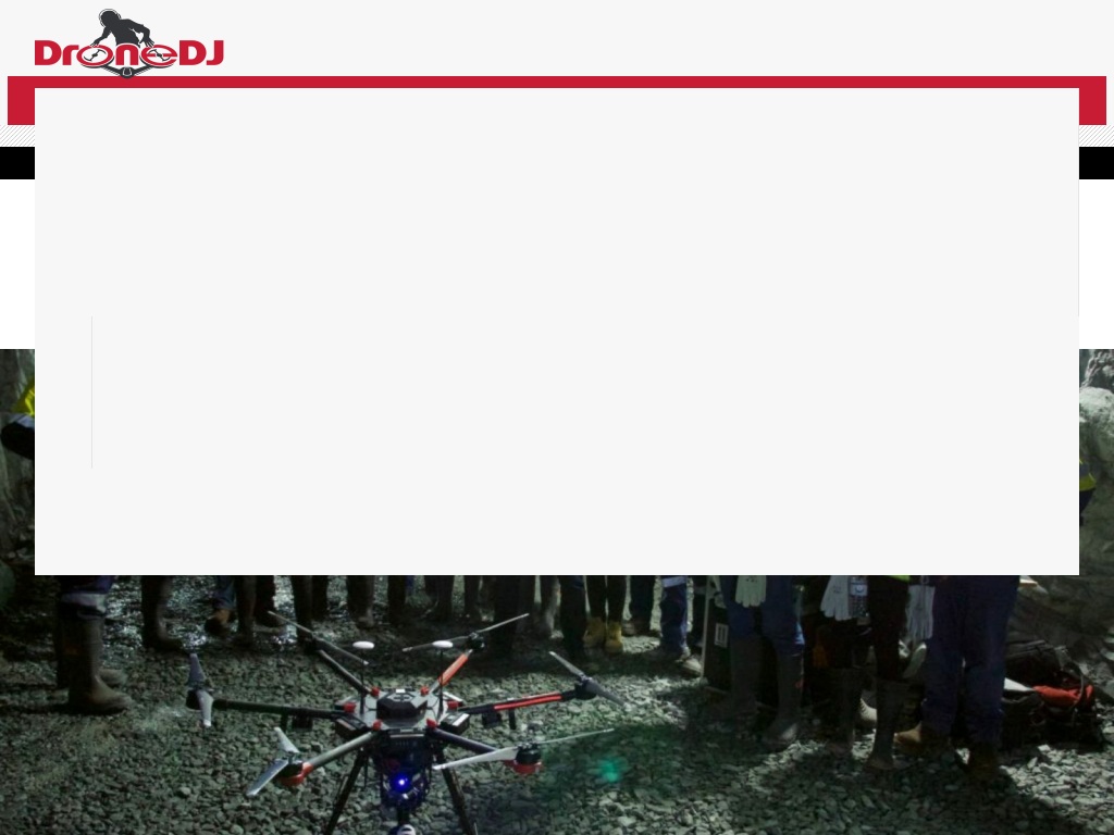
dronedj.com — The drone creates a real-time 3D map of its surroundings which is sent back to an operator's tablet for instant and detailed insights into the environment.
14.07.2020 0 comments From JAS-Aerial


